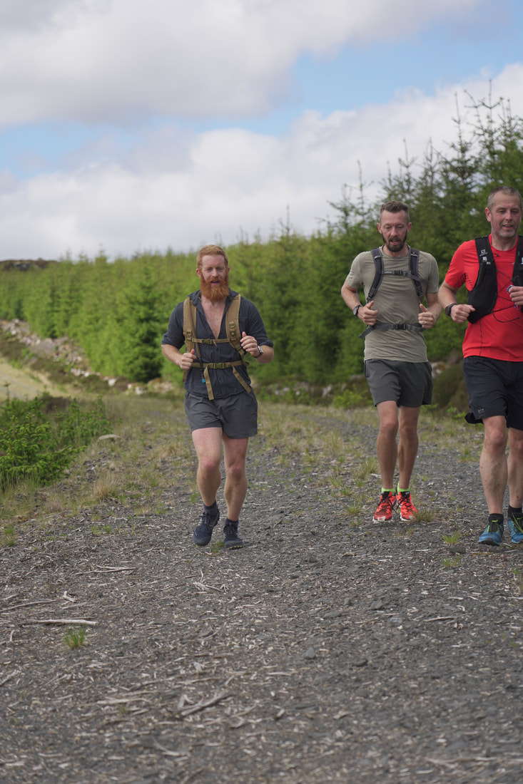
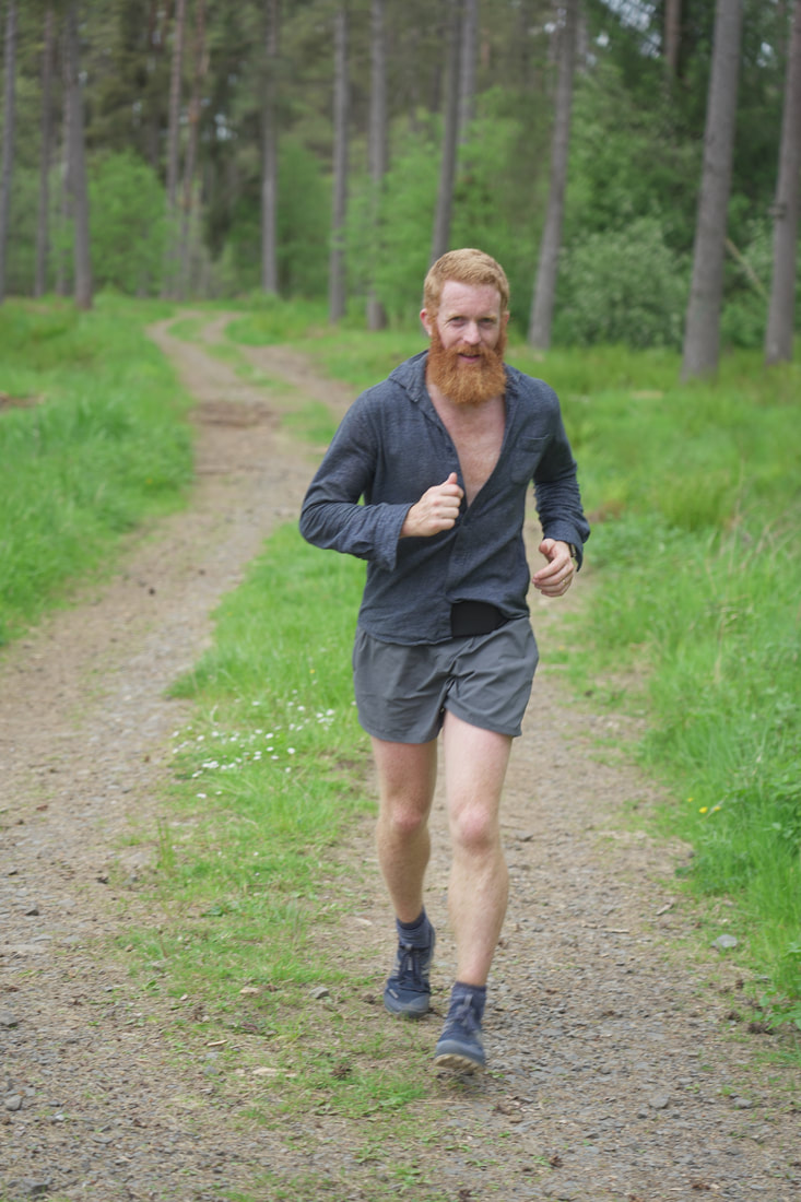
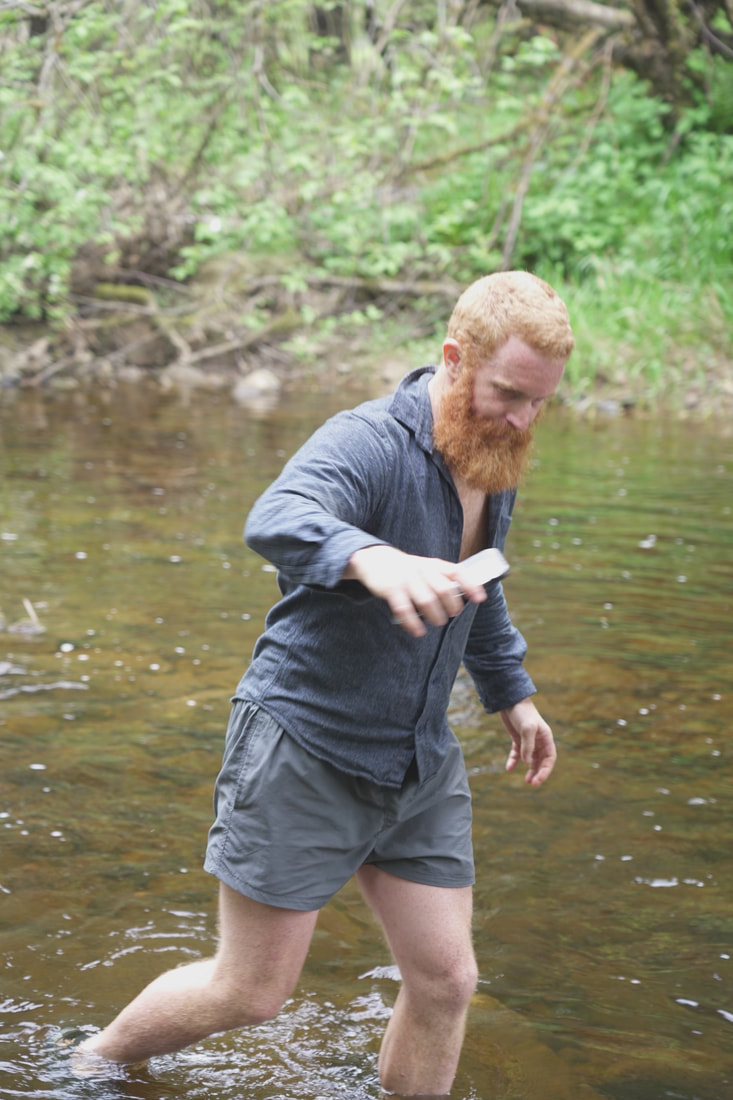
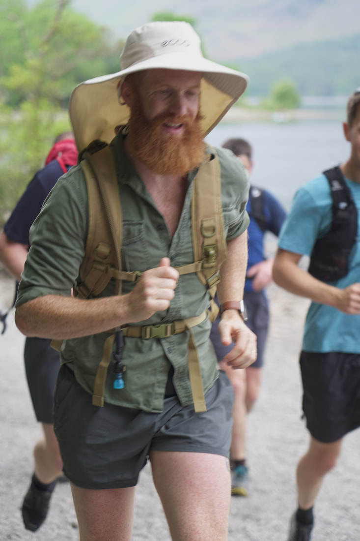
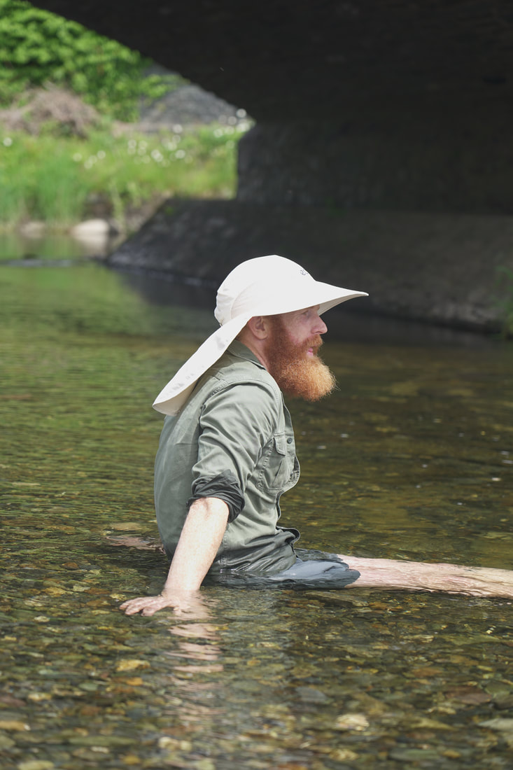
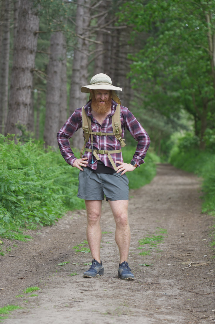
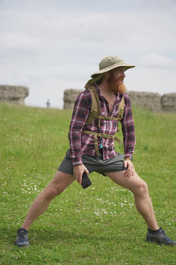
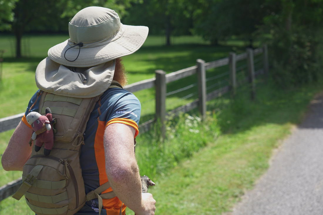
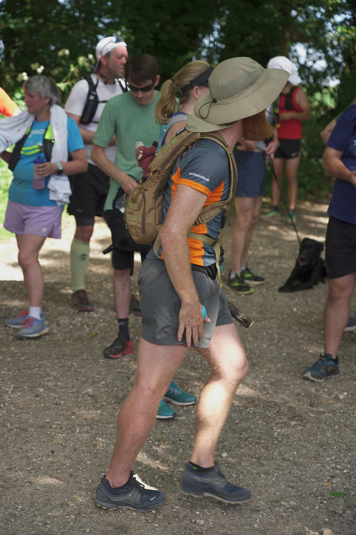
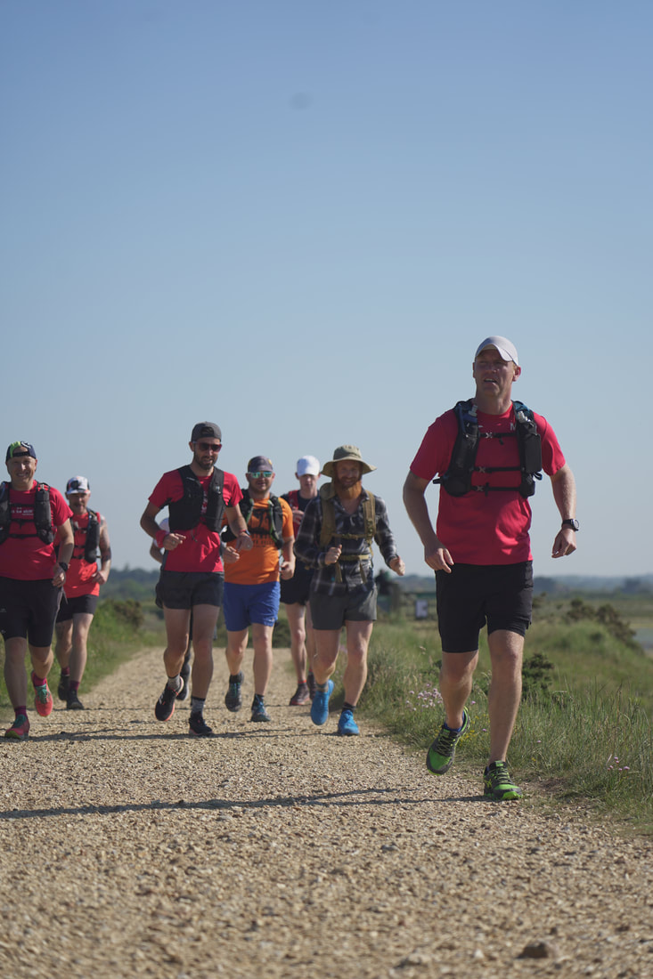
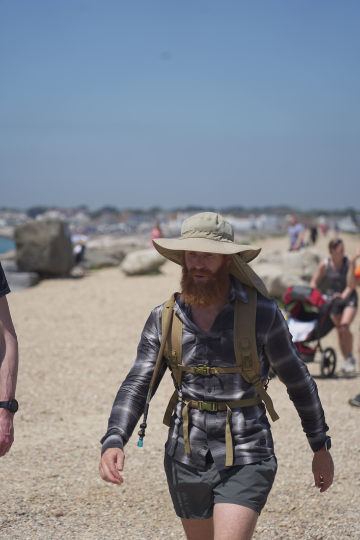
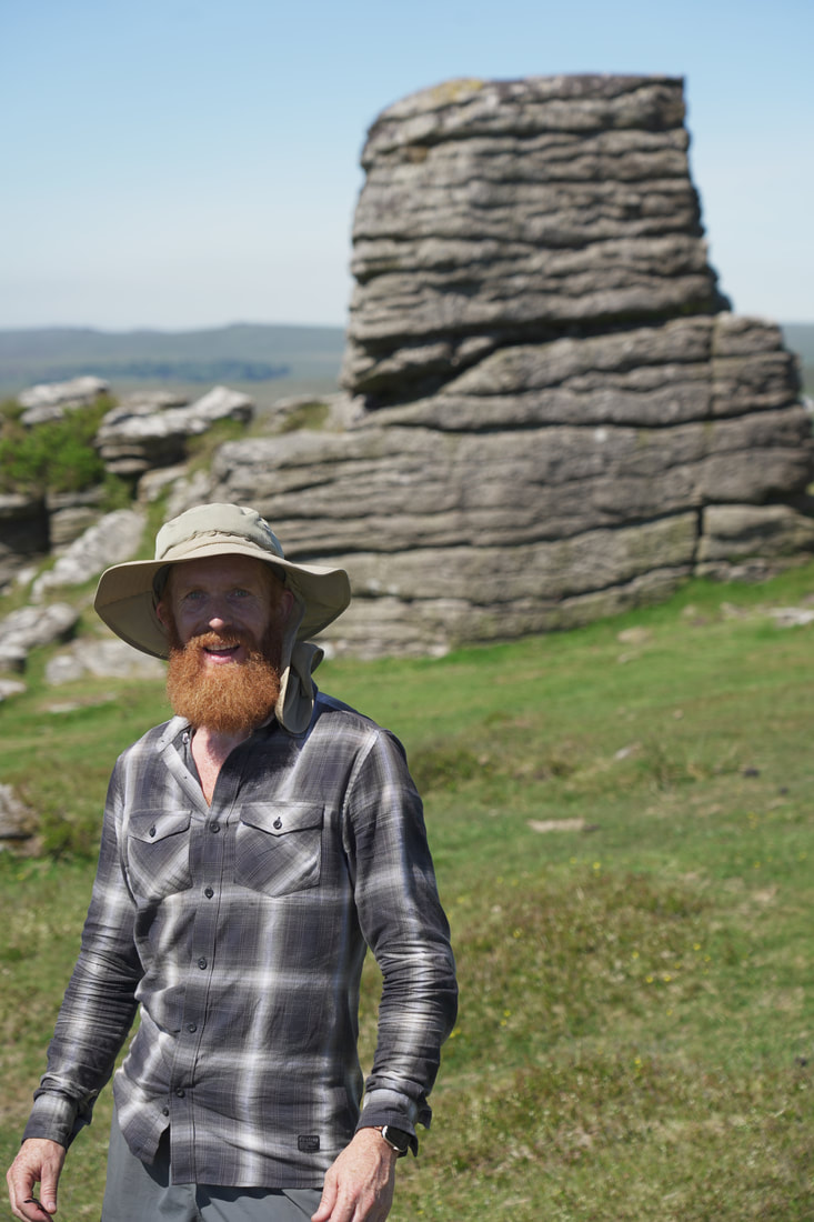
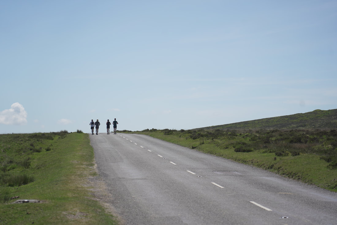
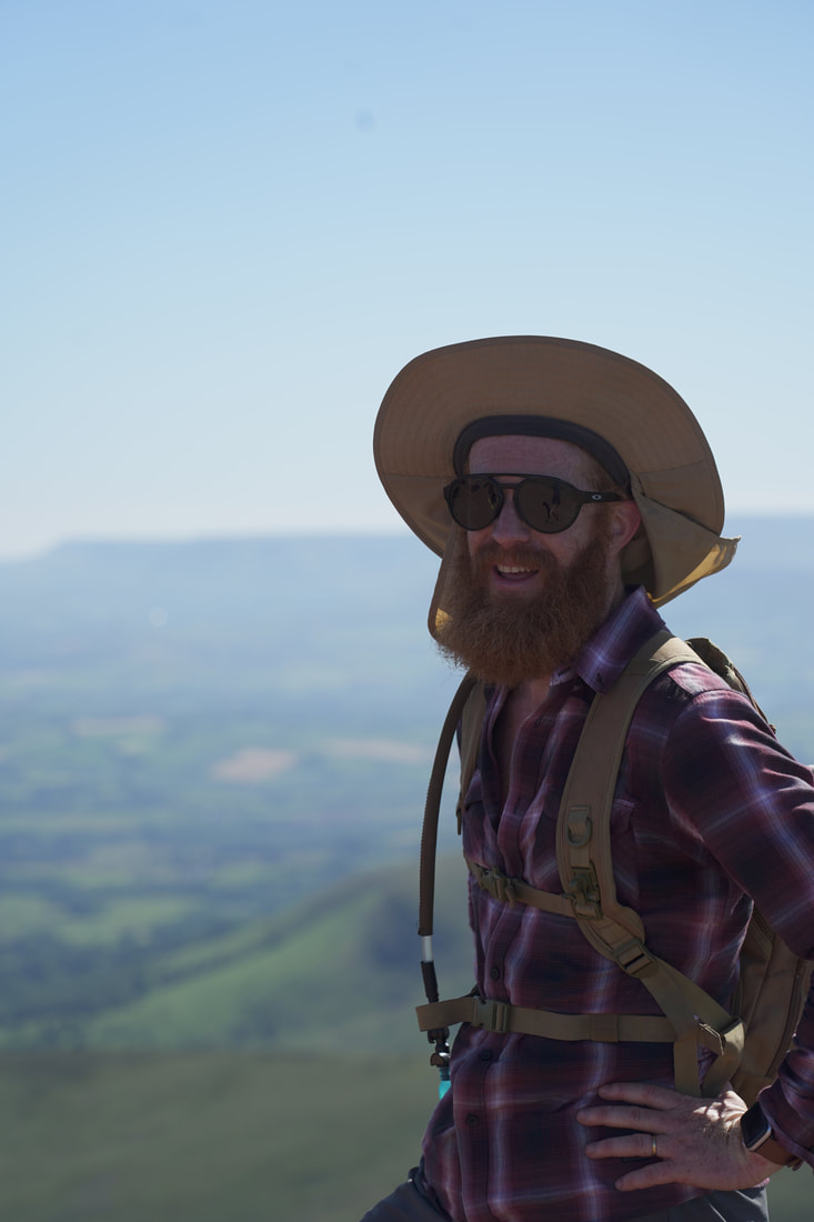
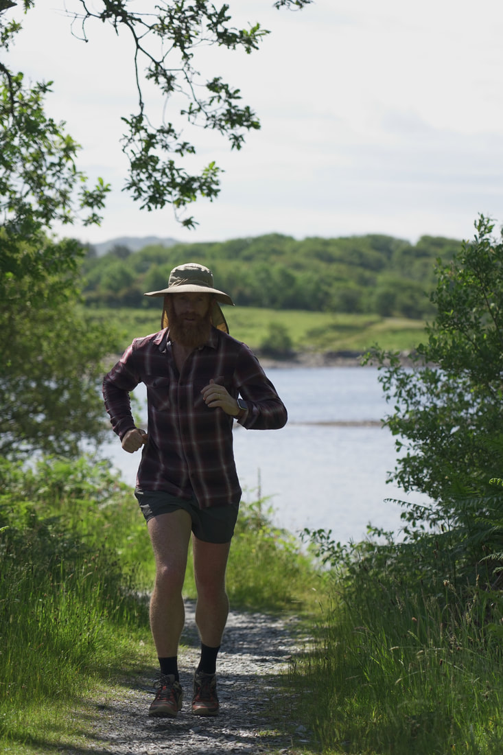
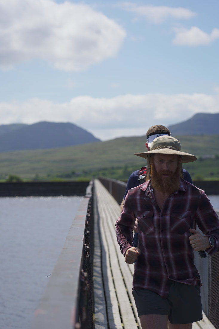
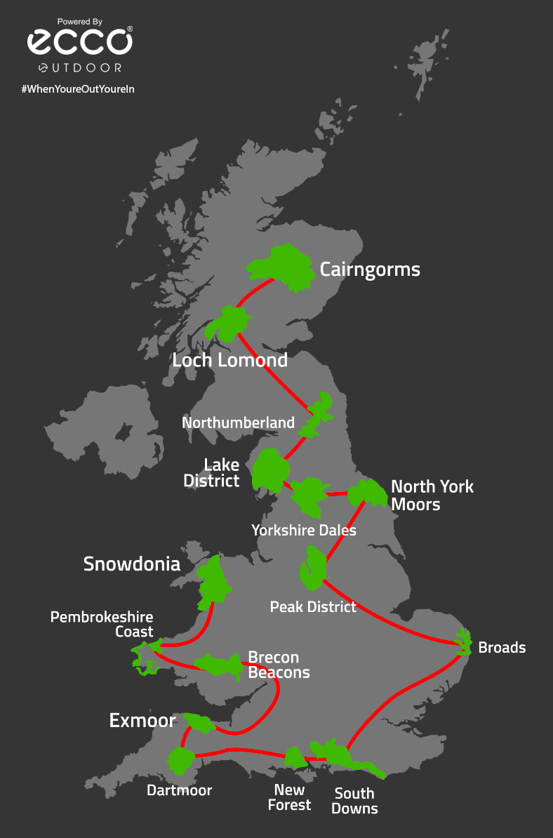
Starting on the 4th June 2021 up in the Cairngorms I ran a marathon a day in each of the UK national parks. We are so incredibly lucky to live on such a beautiful island and I want to share how rich and diverse it is, and how important it is to look after it as more of us will be exploring closer to home this year. Below I've detailed each route in case any of you fancy haveing a crack at it.
Watch the Film
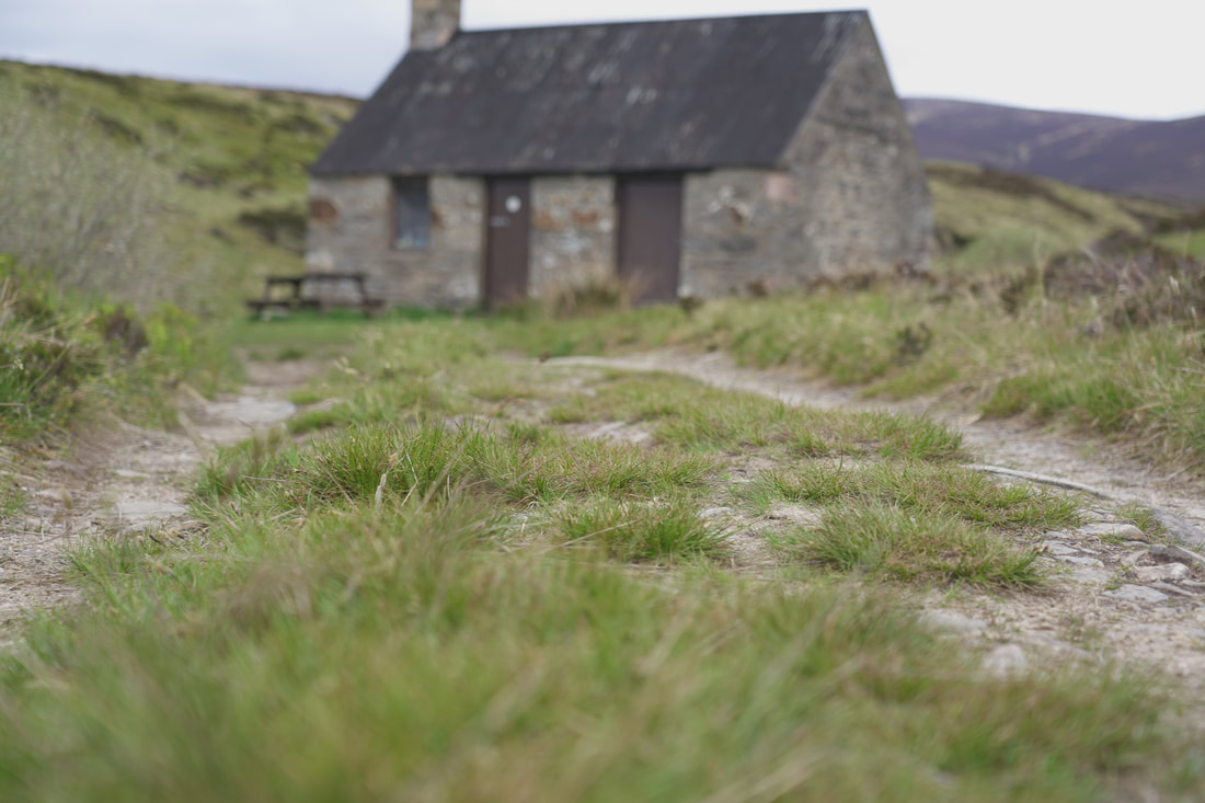

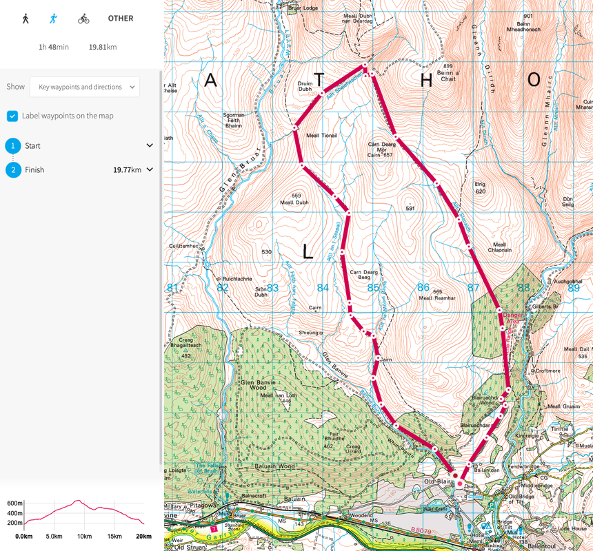
4th June - Cairngorms
|
Location: Run starts in Blair Atholl and I will run two loops of the route running north along a track and then back to Blair Atholl. Each loop is 20km.
Start point: Glen Tilt Car Park Terrain: All trail. Food/Water: No food or water stops. Resupply at your vehicle after lap one. Start time: 8am View route https://osmaps.ordnancesurvey.co.uk/route/8282205/Cairngorms Download GPX below.
| ||
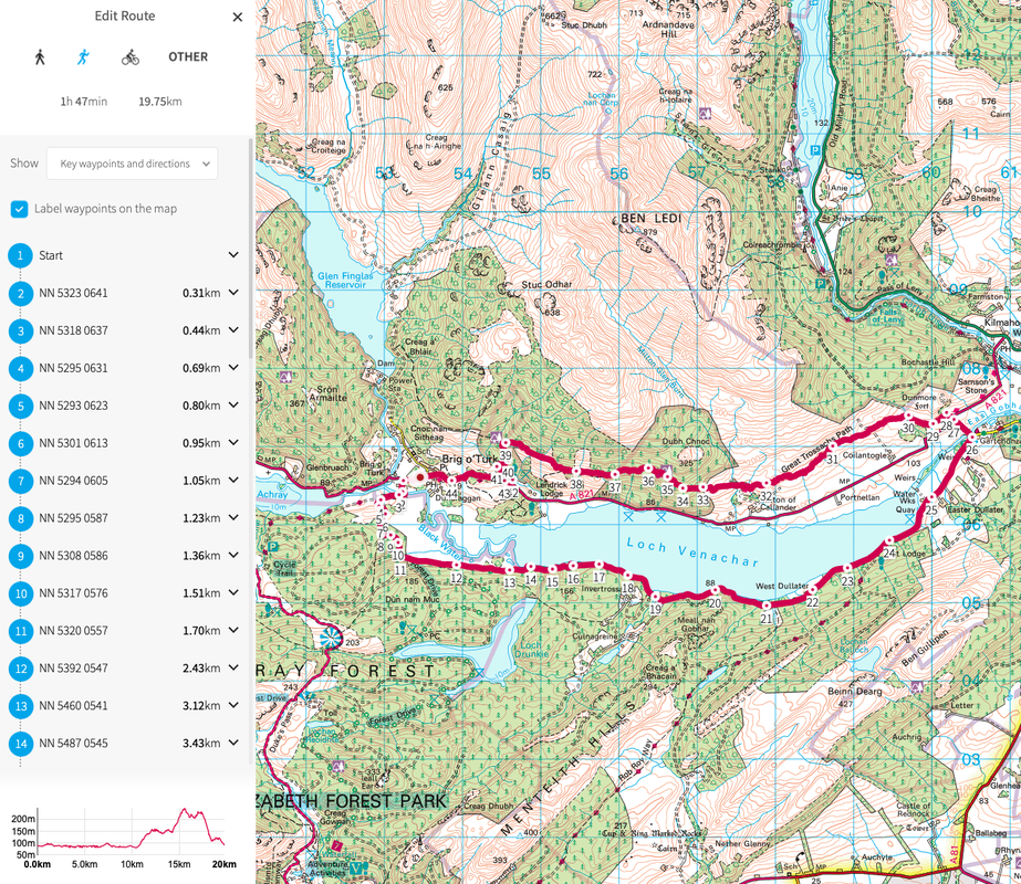
5th June - Loch Lomond
|
Location: I will start the run from Brig o'Turk (best name ever) and run two laps around Loch Venachar. Each lap is 20km.
Start point: Glen Finglas Visitor Centre Terrain: All trail. Food/Water: Resupply at your car after each lap Start time: 8am View route https://osmaps.ordnancesurvey.co.uk/route/8282685/Loch-Lomond Download GPX below.
| ||
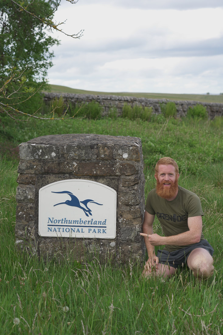
6th June - Northumberland

|
Location: Running south from Blakehopeburnhaugh Waterfall and then looping back too the falls. Then heading north along the Pennine Way and then back again.
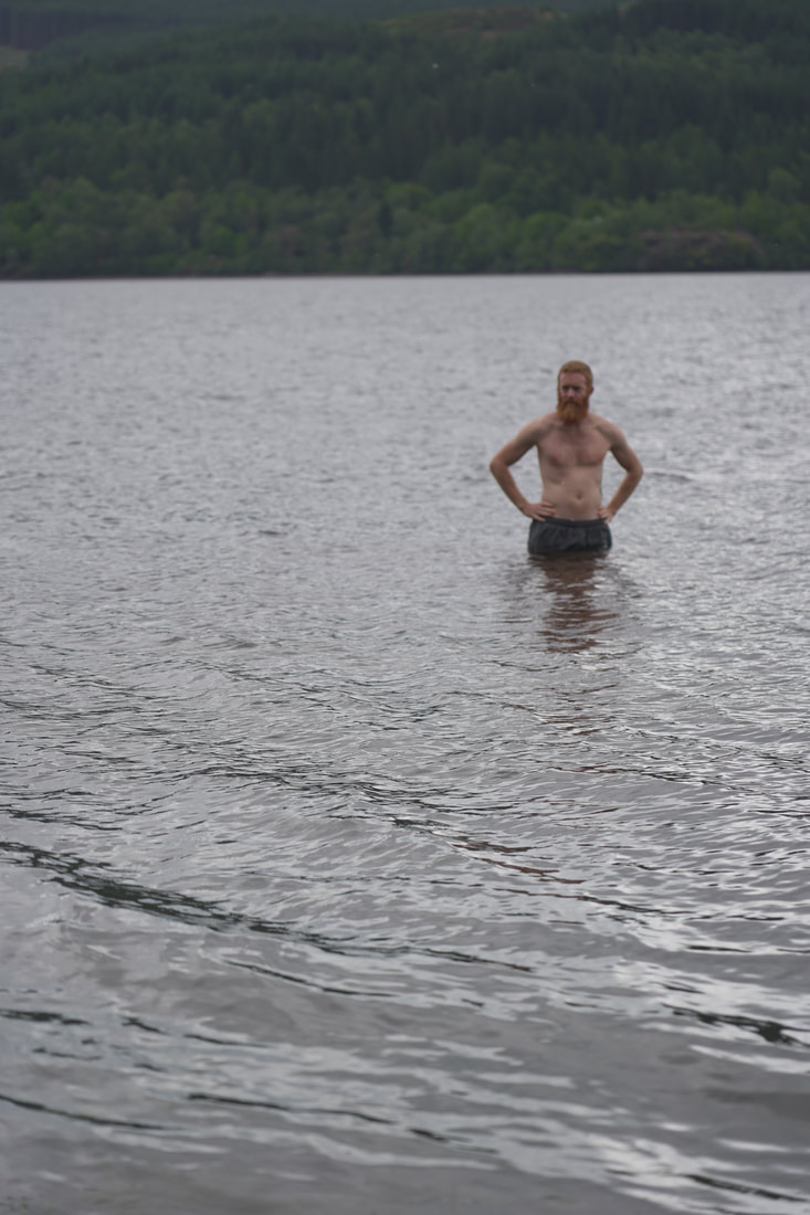
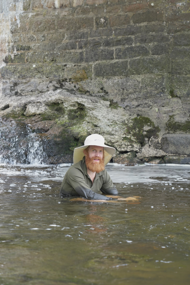
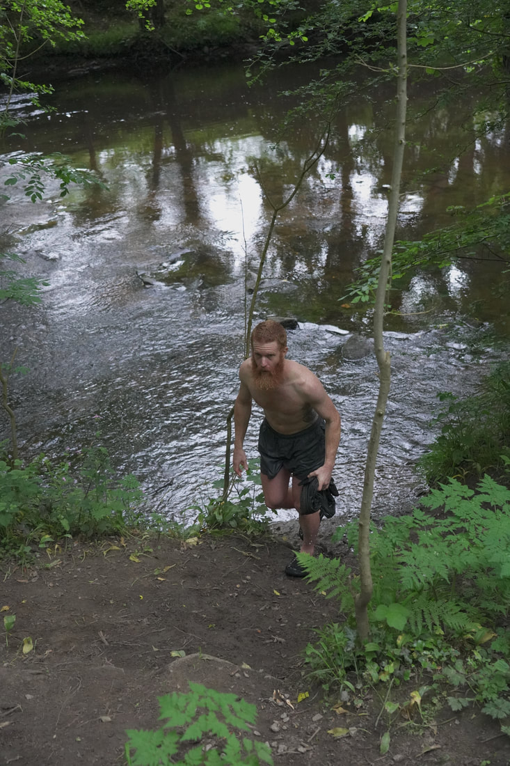
Start point: Blakehopeburnhaugh Waterfall (compulsory swim after) Terrain: All trail. Food/Water: Refuel back at your car after lap one Start time: 8am View route https://osmaps.ordnancesurvey.co.uk/route/8618865/Northumberland Download GPX below
| ||
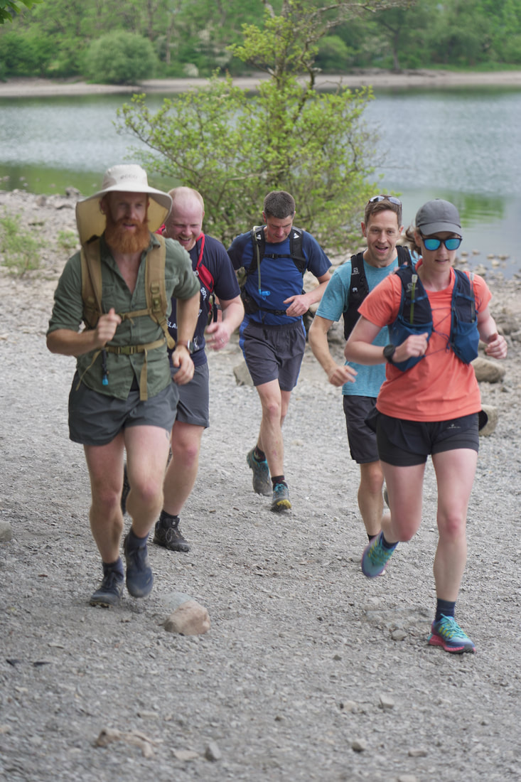
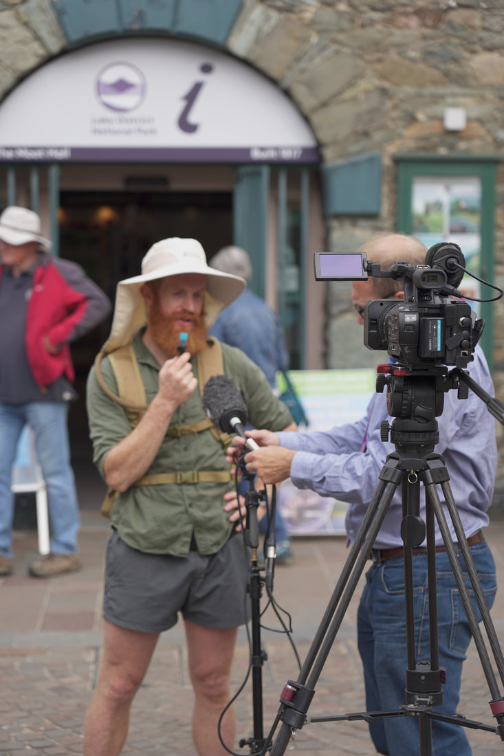
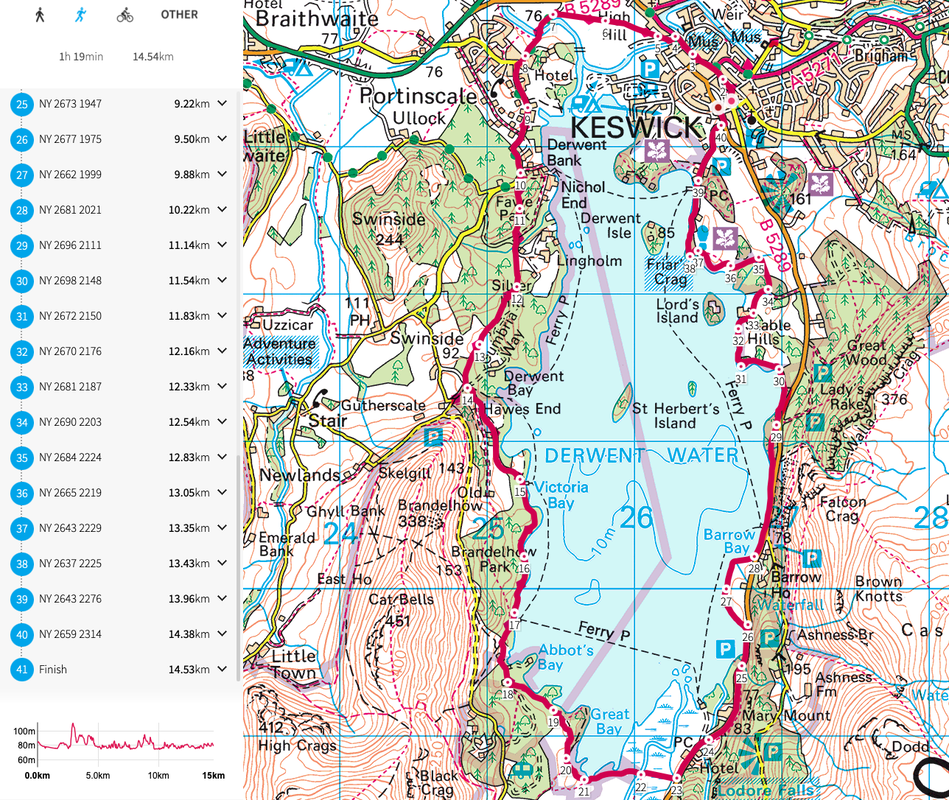
7th June - Lake District
|
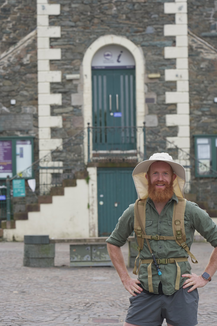
Location: I will start the run from Moot Hall in Keswick and run three laps of Derwent Water. Each lap is 14km
Start point: Moot Hall, Keswick High Street Terrain: Mostly trail except short section along public road. Food/Water: Resupply in Keswick on each lap Start time: 8am View route https://osmaps.ordnancesurvey.co.uk/route/8282818/Lake-District Download GPX below
| ||
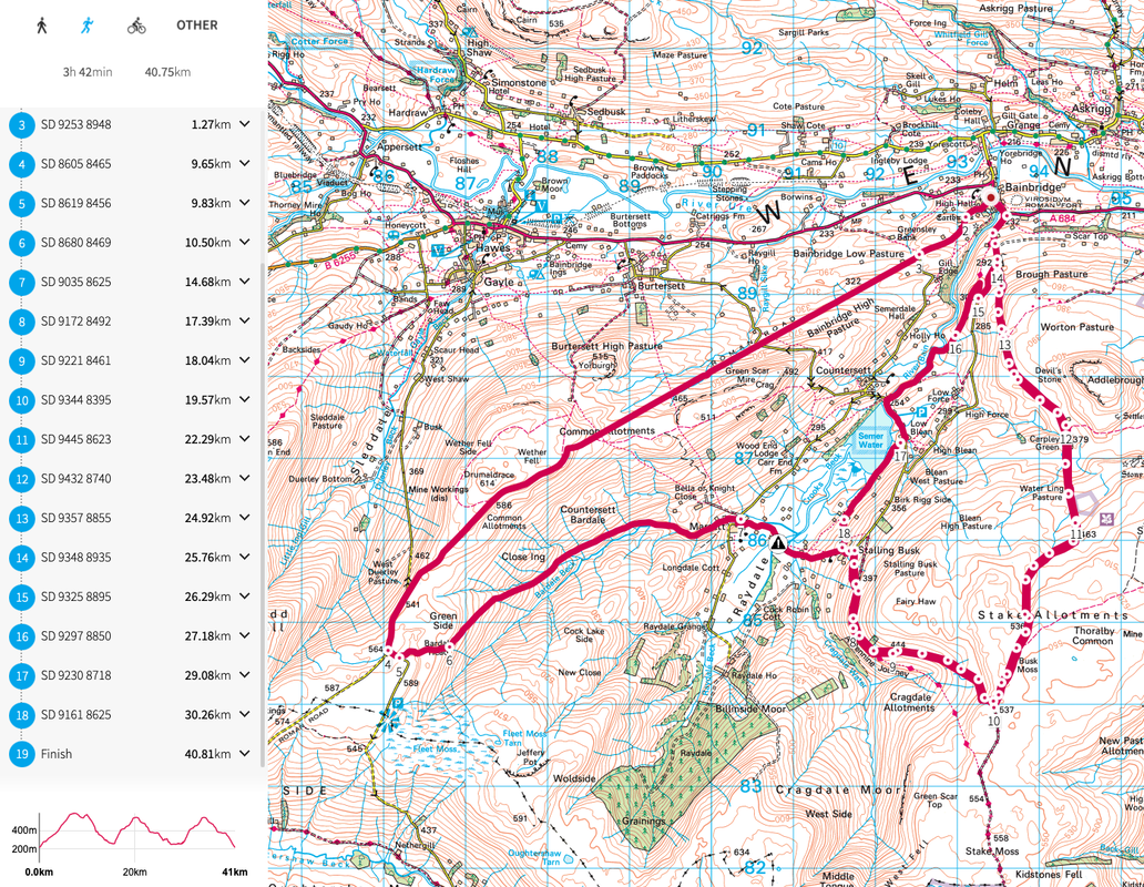
8th June - Yorkshire Dales
|
Location: I start the run in Bainbridge and head west along the old Roman Road then do a long 25km loop round and back to Bainbridge. Then a shorter 16km second loop via Semer Water and back to Bainbridge.
Start point: Bainbridge playground Terrain: Mostly trail. Some short sections on backroads. Food/Water: Resupply after first long loop at Bainbridge. Start time: 8am View route https://osmaps.ordnancesurvey.co.uk/route/8289969/Yorkshire-Dales Download GPX below
| ||
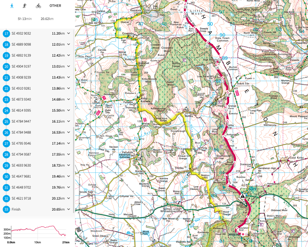
9th June - North York Moors
|
Location: I will start the run in the car park above the White Horse on Sutton Bank. This is an out and back along the Cleveland Way. Feel free to turnaround whenever you want. My route turns around at Osmotherley.
Start point: Car park at the top of Low Town Bank Rd, opposite the gliding club. Terrain: All trail. Food/Water: Resupply available halfway. Start time: 8am View route https://osmaps.ordnancesurvey.co.uk/route/8290103/North-York-Moors Download GPX below
| ||
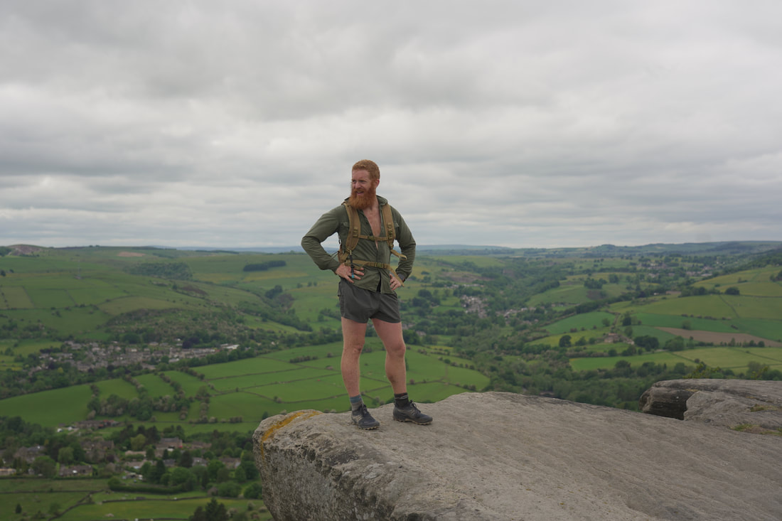
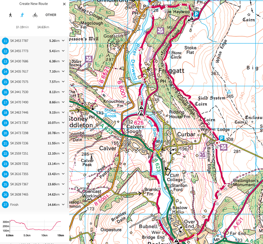
10th June - Peak District
|
Location: I start the run from Curbar Edge car park just east of Curbar. This is a three lap run heading along Curbar Edge and then back down below along.River Derwent.
Start point: Curbar Edge Car Park Terrain: Mostly trail. Short road sections. Food/Water: Resupply at vehicle on each lap. Start time: 8am View route https://osmaps.ordnancesurvey.co.uk/route/8290180/Peak-District Download GPX below
| ||
11th June - Norfolk Broads
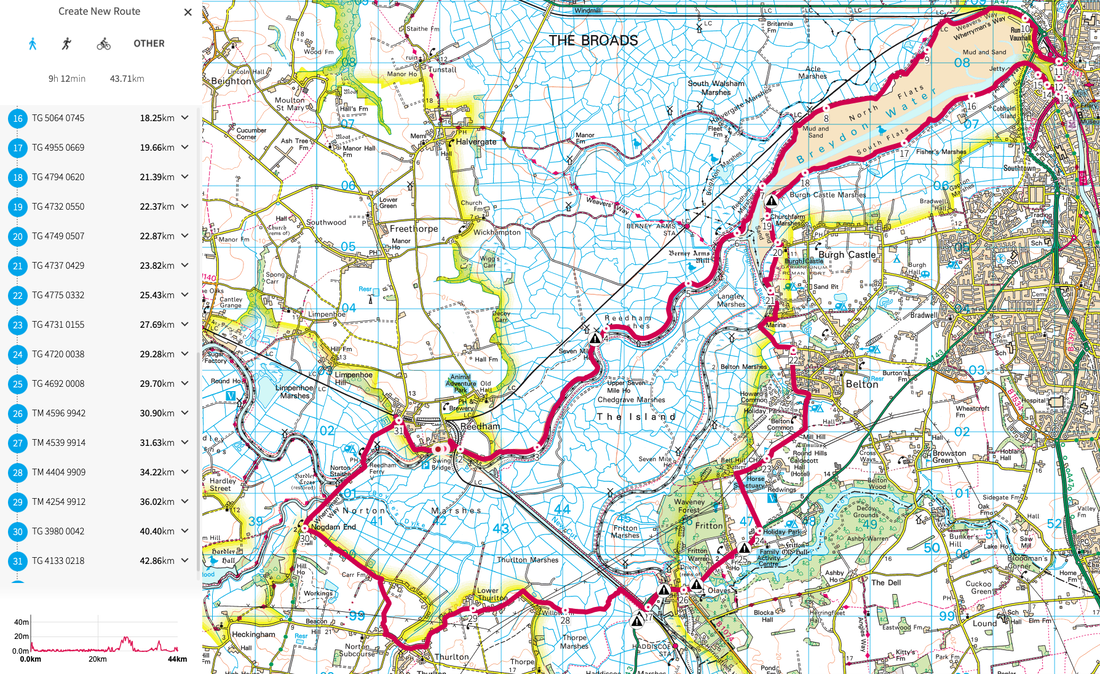
|
Location: I start the run from Reedham and head east towards Great Yarmouth then head back towards Reedham. This route is slightly over a marathon at 44km. (possibly 46km if I divert for food)
Start point: Outside The Lord Nelson Pub Terrain: Mostly trail with about 15km of backroad. Food/Water: Resupply at Great Yarmouth at 17km. Start time: 10am View route https://osmaps.ordnancesurvey.co.uk/route/8290274/Norfolk-Broads Download GPX below
| ||
12th June - South Downs
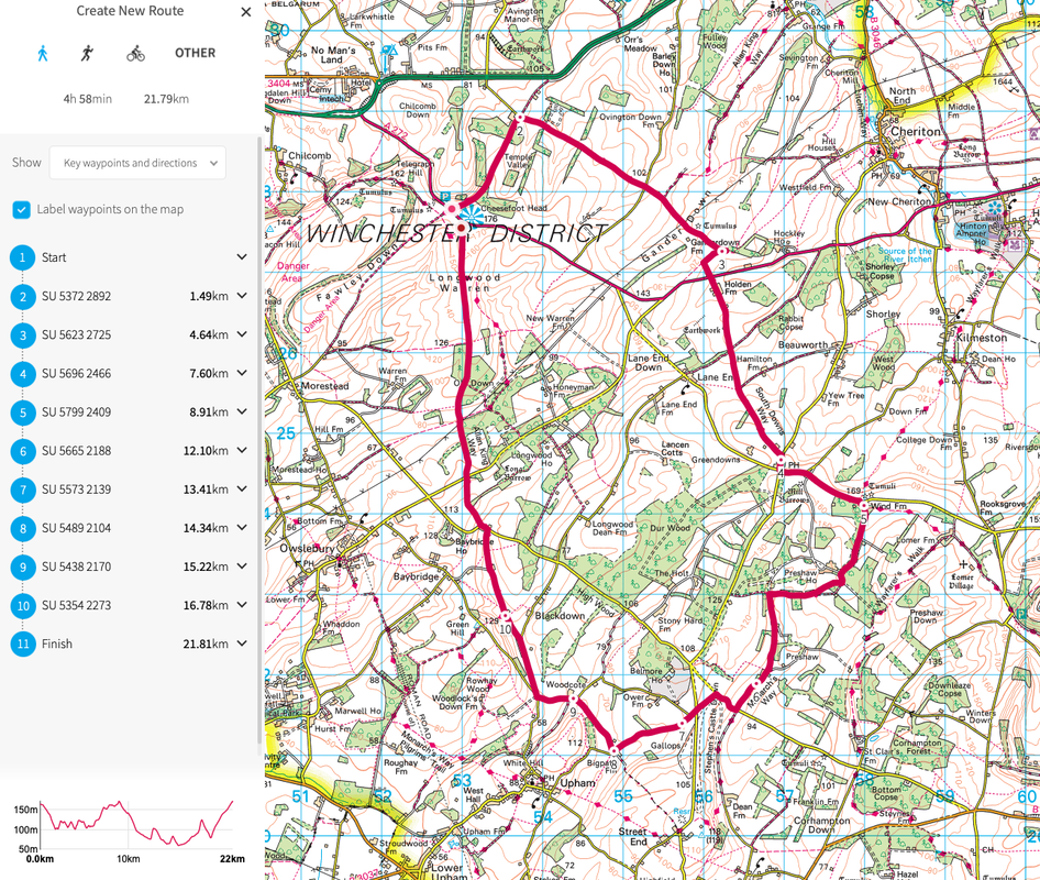
|
Location: I start the run from Cheesefoot Head (because of the name) and then run two laps of the route.
Start point: Cheesefoot Head Car Park Terrain: A mixture of road and trail. Food/Water: Resupply at your car after lap one. Start time: 10am View route https://osmaps.ordnancesurvey.co.uk/route/8290329/South-Downs Download GPX below
| ||
13th June - New Forest

|
Location: I start the run from Lymington and do an out and back via Hurst Castle
Start point: Bath road Car Park Terrain: Trail with some road Food/Water: Resupply at Milford on Sea at around 15km and then again at 25km on the way back. Start time: 8am View route https://osmaps.ordnancesurvey.co.uk/route/8290401/New-Forest Download GPX below
| ||
14th June - Dartmoor
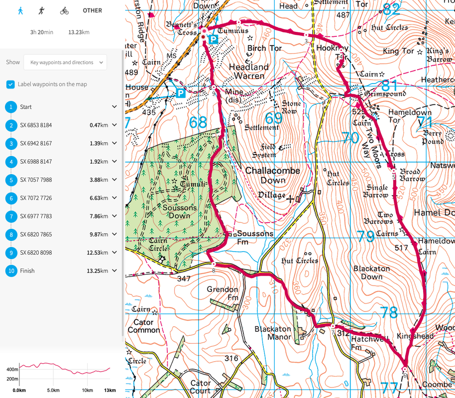
|
Location: I start the run from Bennet's Cross car park and do three laps into the moor and back.
Start point: Bennett's Cross Car Park on B3212 Terrain: All trail. Food/Water: Resupply at your car on each lap. Start time: 8am View route https://osmaps.ordnancesurvey.co.uk/route/8290421/Dartmoor Download GPX below
| ||
15th June - Exmoor
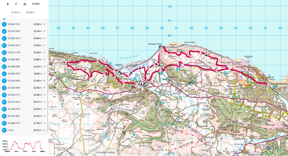
|
Location: I start the run from Porlock and head west along the coast path and then back to Porlock. the second lap goes east to Minehead and then back to Porlock.
Start point: Outside The Ship Inn Terrain: Almost entirely trail. Food/Water: Resupply at Porlock and then again at Minehead not he second lap. Start time: 8am View route https://osmaps.ordnancesurvey.co.uk/route/8290490/Exmoor Download GPX below
| ||
16th June - Brecon Beacons
|
|
Location: I start the run from Taf Fechan Forest and head north up Pen Y Fan then back down the other Sid and south to Merthyr Tydfil.
Start point: Pont Cwm y fedwen Car Park Terrain: Mostly trail with some road sections. Food/Water: First resupply is at around 25km in Merthyr Tydfil. Start time: 8am View route https://osmaps.ordnancesurvey.co.uk/route/8290567/Brecons Download GPX below
| ||
17th June - Pembrokeshire
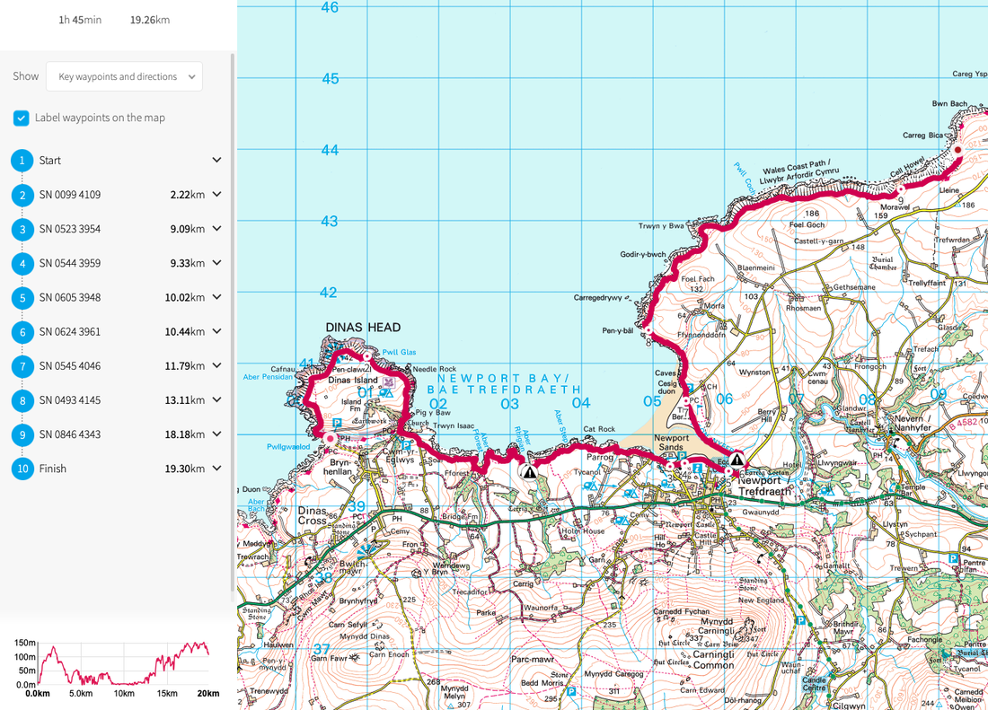
|
Location: I start the run from Newport and head west around Dinas Head and back to Newport. Then head east for an out and back.
Start point: Newport Boat Club Terrain: Mostly trail. Food/Water: Resupply at Newport halfway. Start time: 8am View route https://osmaps.ordnancesurvey.co.uk/route/8290685/Pembrokeshire Download GPX below
| ||
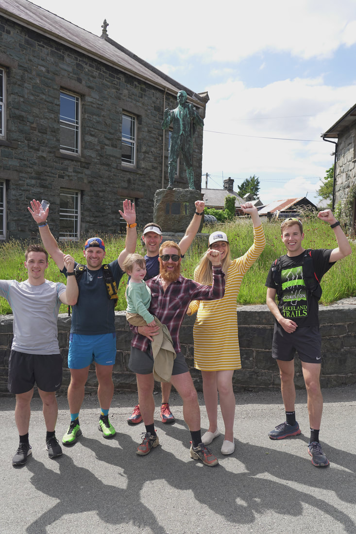
18th June - Snowdonia
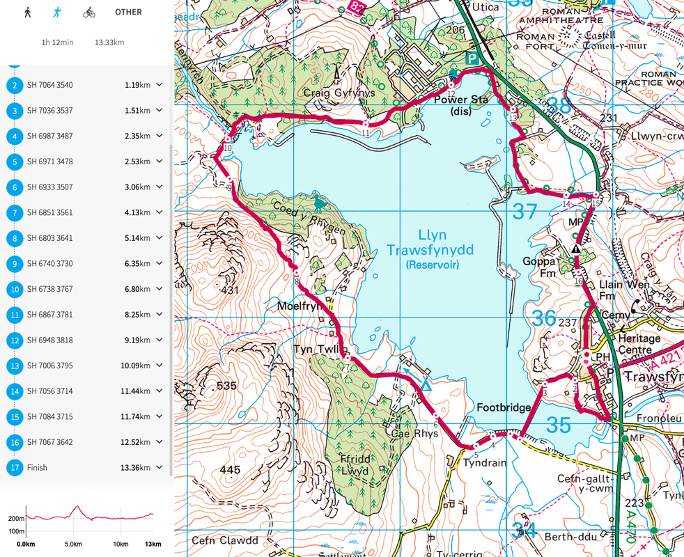
|
Location: I start the run in Trawsfynydd and do three laps run-in around Llyn Trawsfynydd.
Start point: By the statue of Head Wyn in Trawsfynydd Terrain: Misture of trail and back roads. Food/Water: Resupply on each lap at vehicle. Start time: 10am View route https://osmaps.ordnancesurvey.co.uk/route/8290819/Snowdonia? Download GPX below
| ||
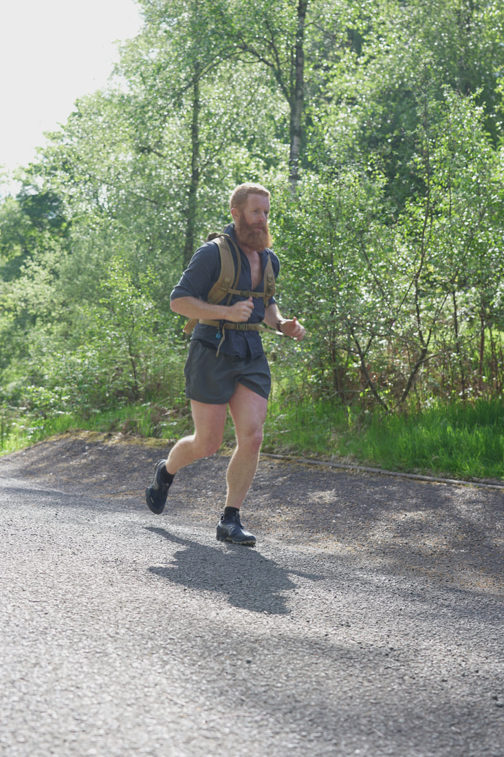
The Shoes
|
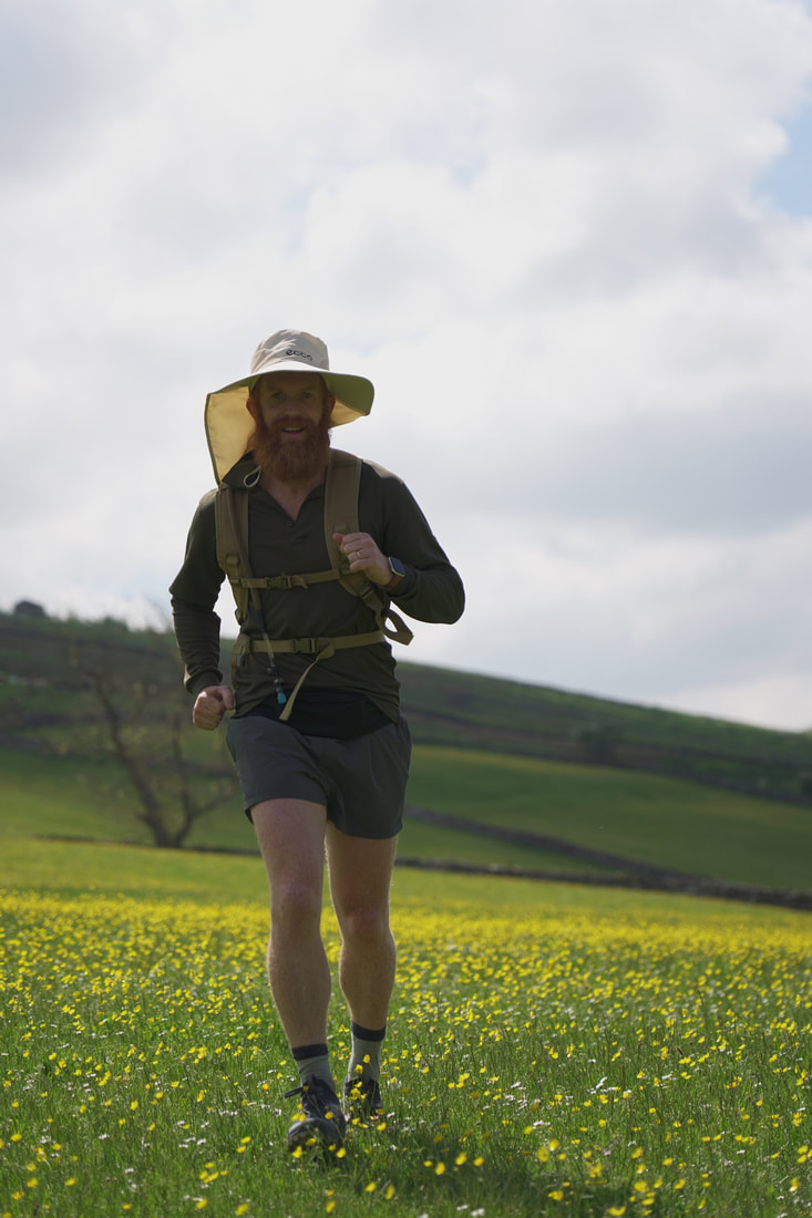
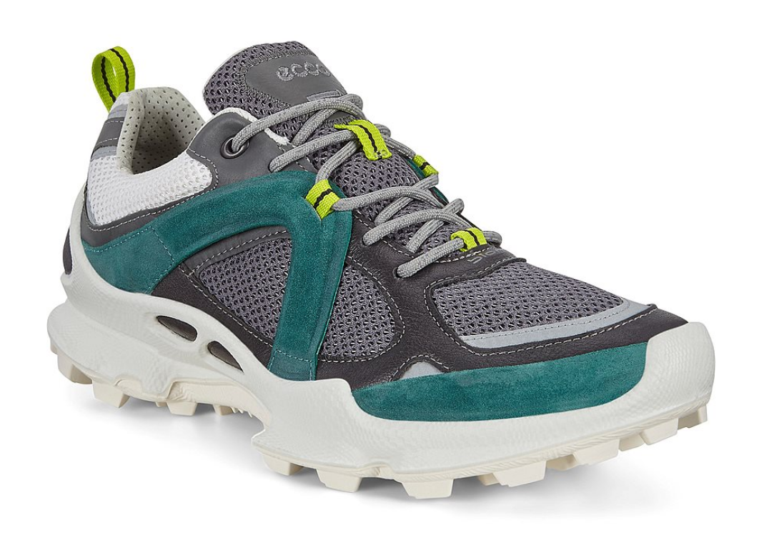
Ecco Biom C-Trail
I'm really proud to have had a part in designing this shoe with Ecco. The grip is great and I can't fault the comfort. I'll use this shoe for all of the runs as almost every marathon is on the trails.
Click here to find out more |
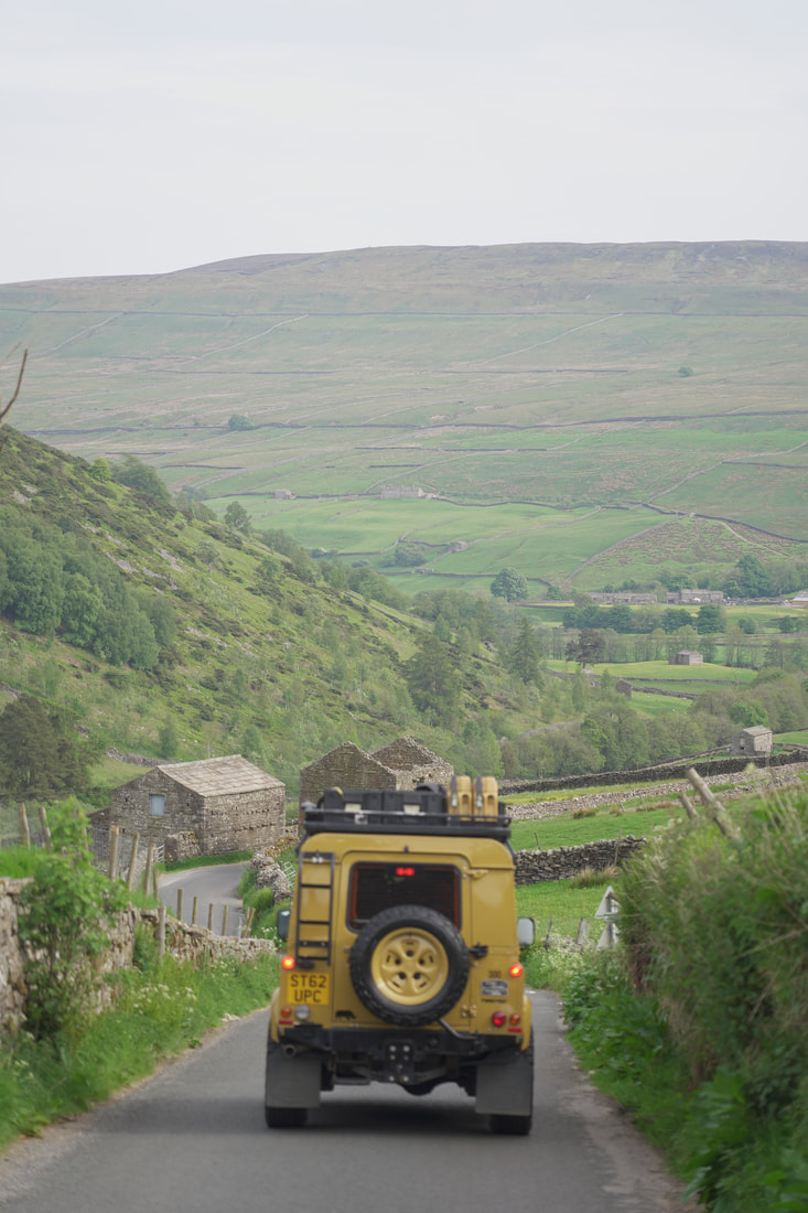
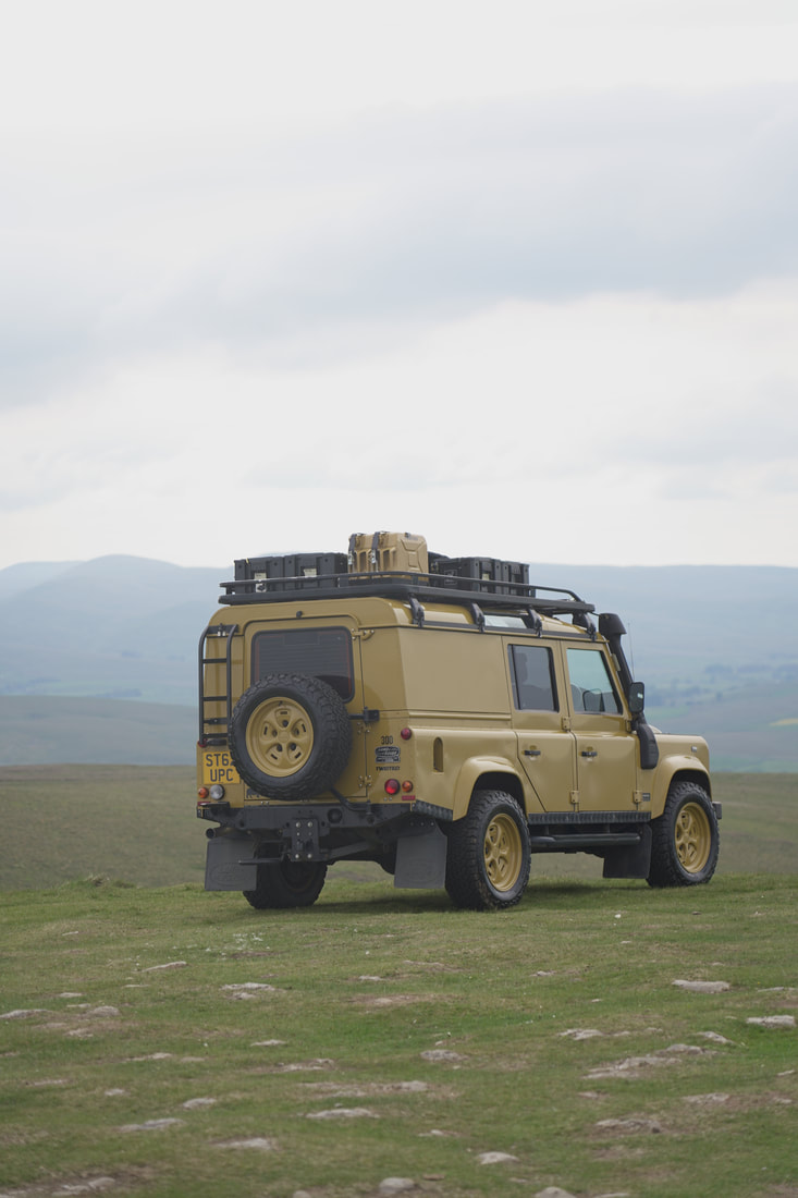
The Colonel
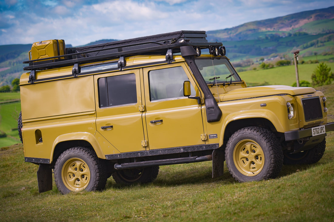
|
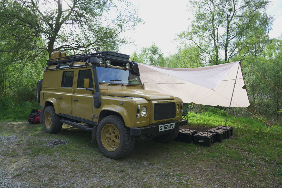
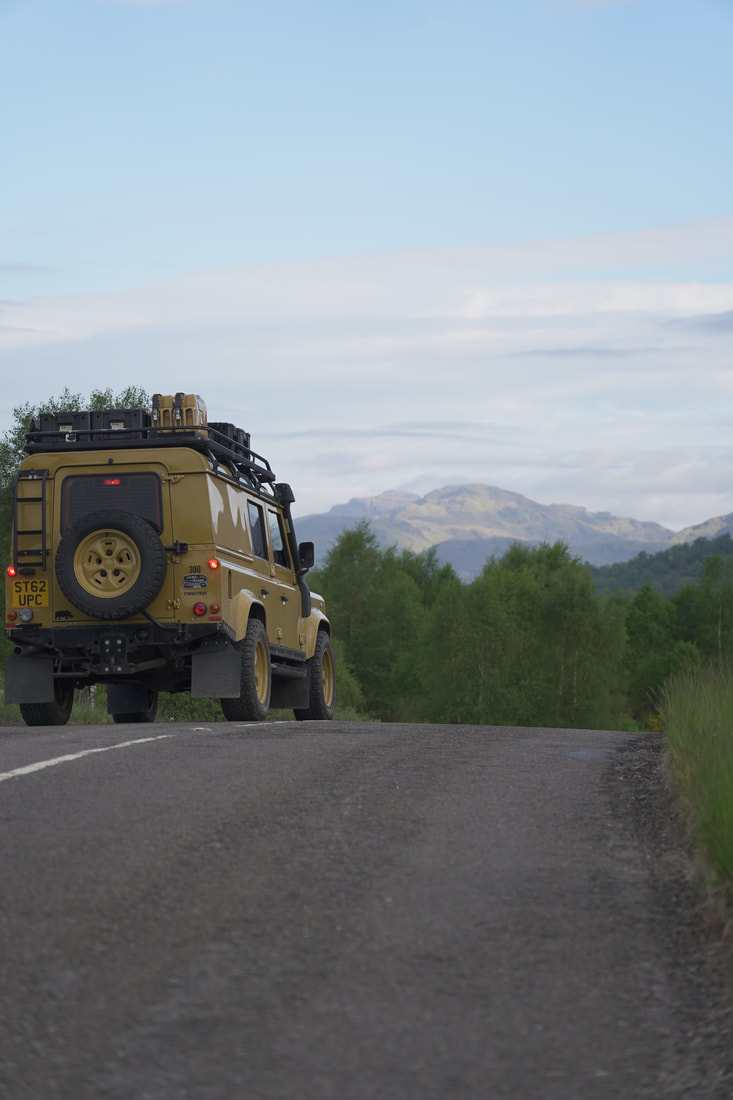
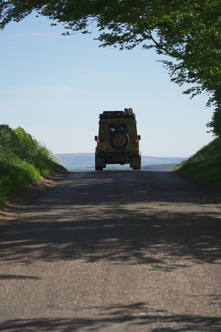
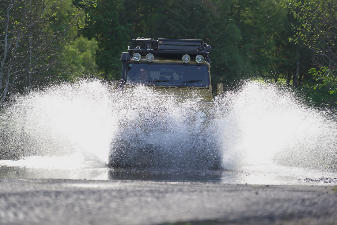
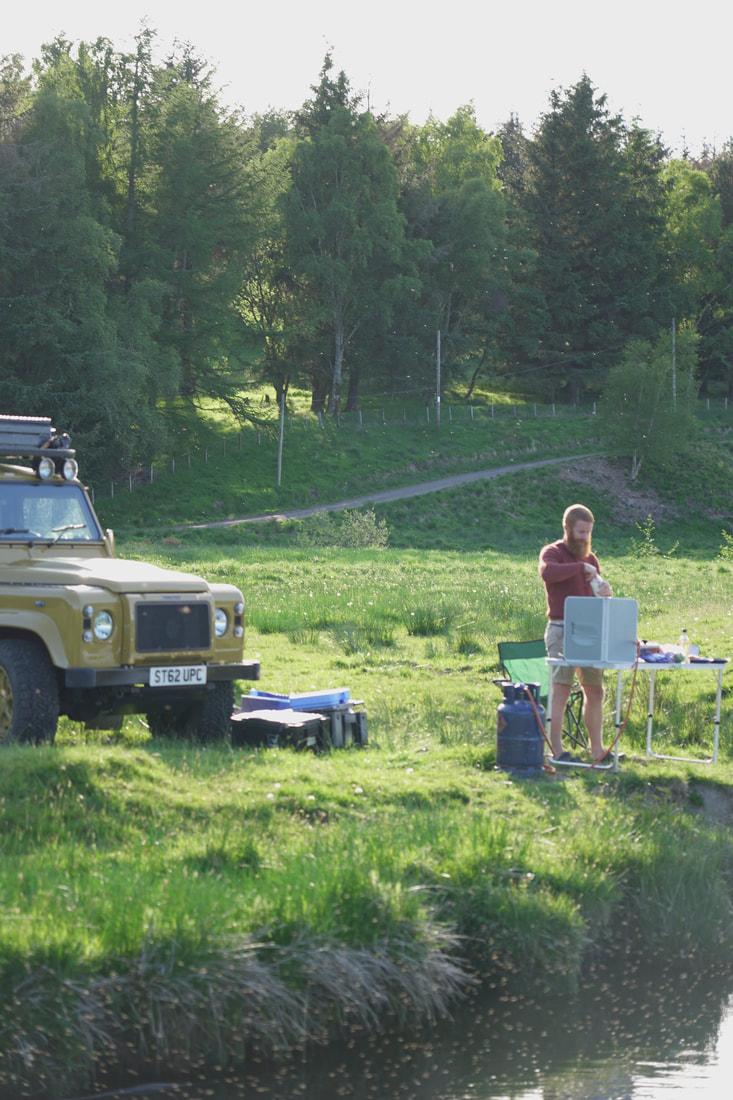
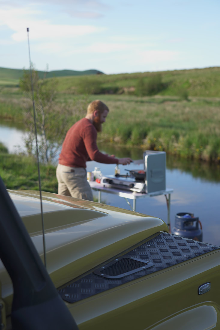
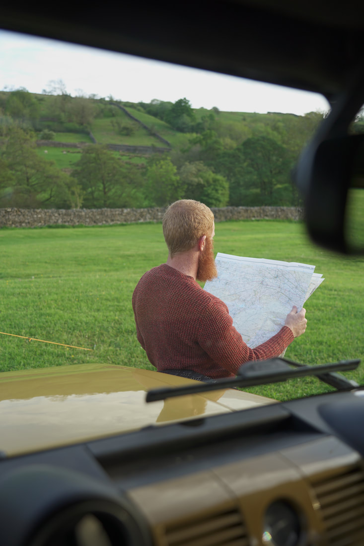
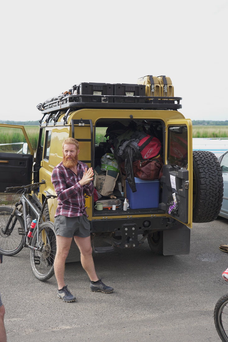
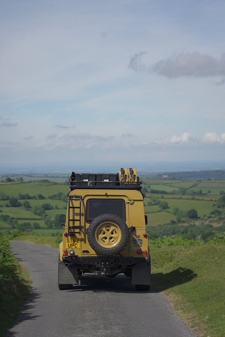
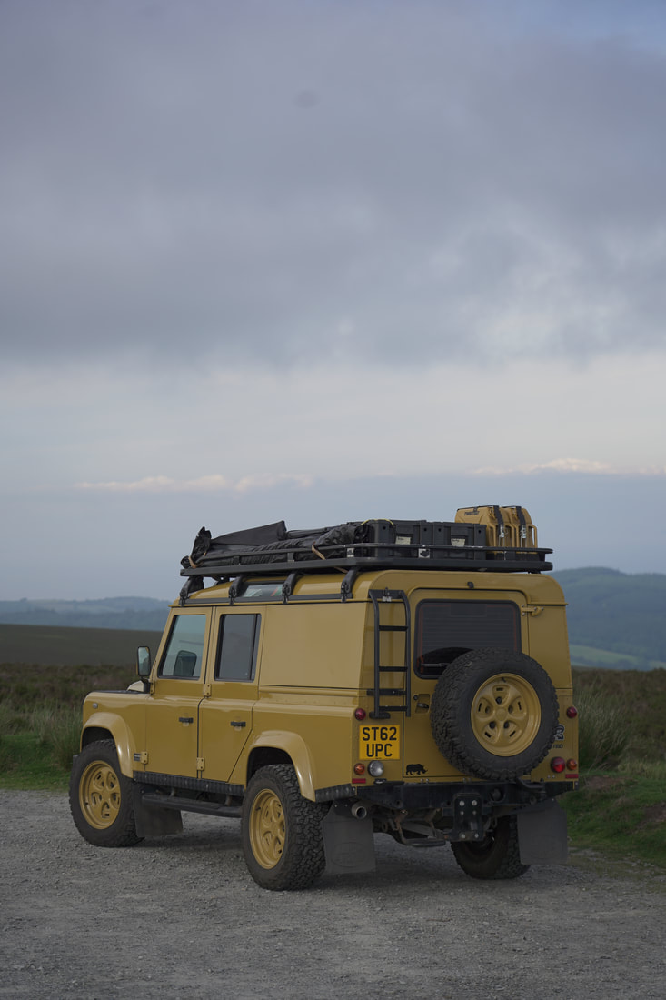
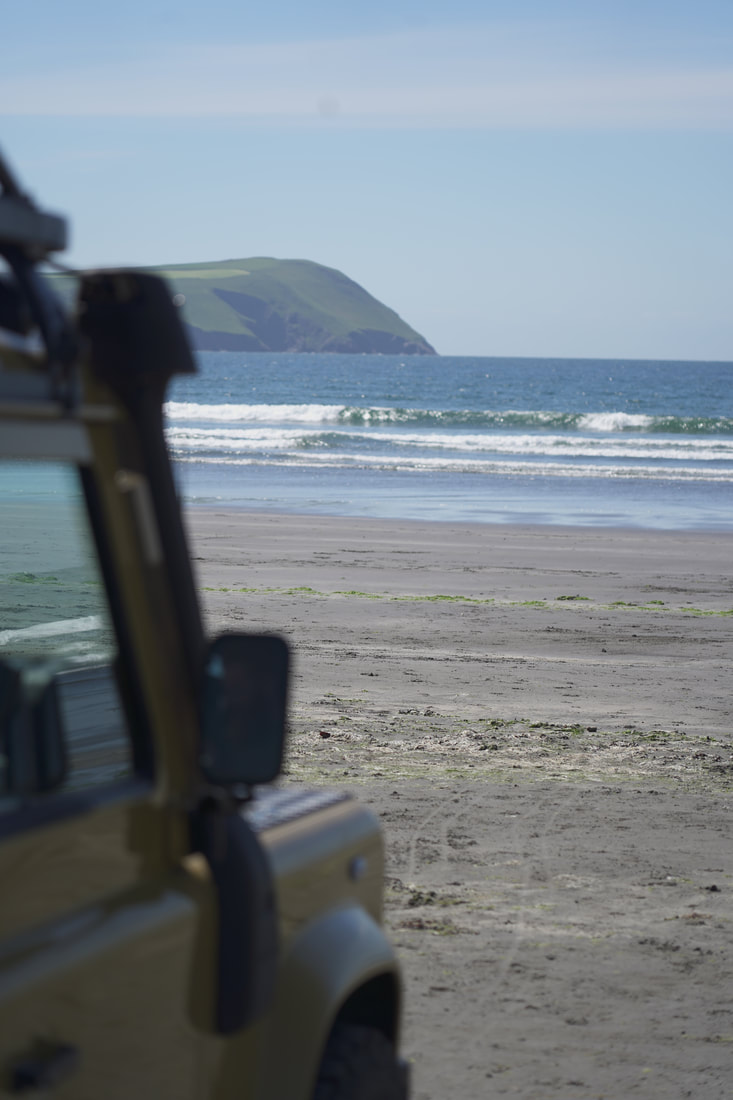
I'm doing this challenge completely self supported so that means I'll be driving and camping in Colonel Mustard my Twisted Defender. He has been my steady adveture companion for 4 years now. Most defender drivers would shudder at the idea of a 1600 mile roadtrip but not in a Twisted. I can't wait to explore many of the best roads in the UK.
Click here to find out more about my Twisted |
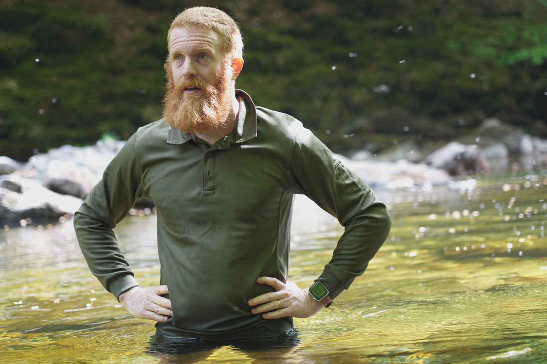
The Recovery

|
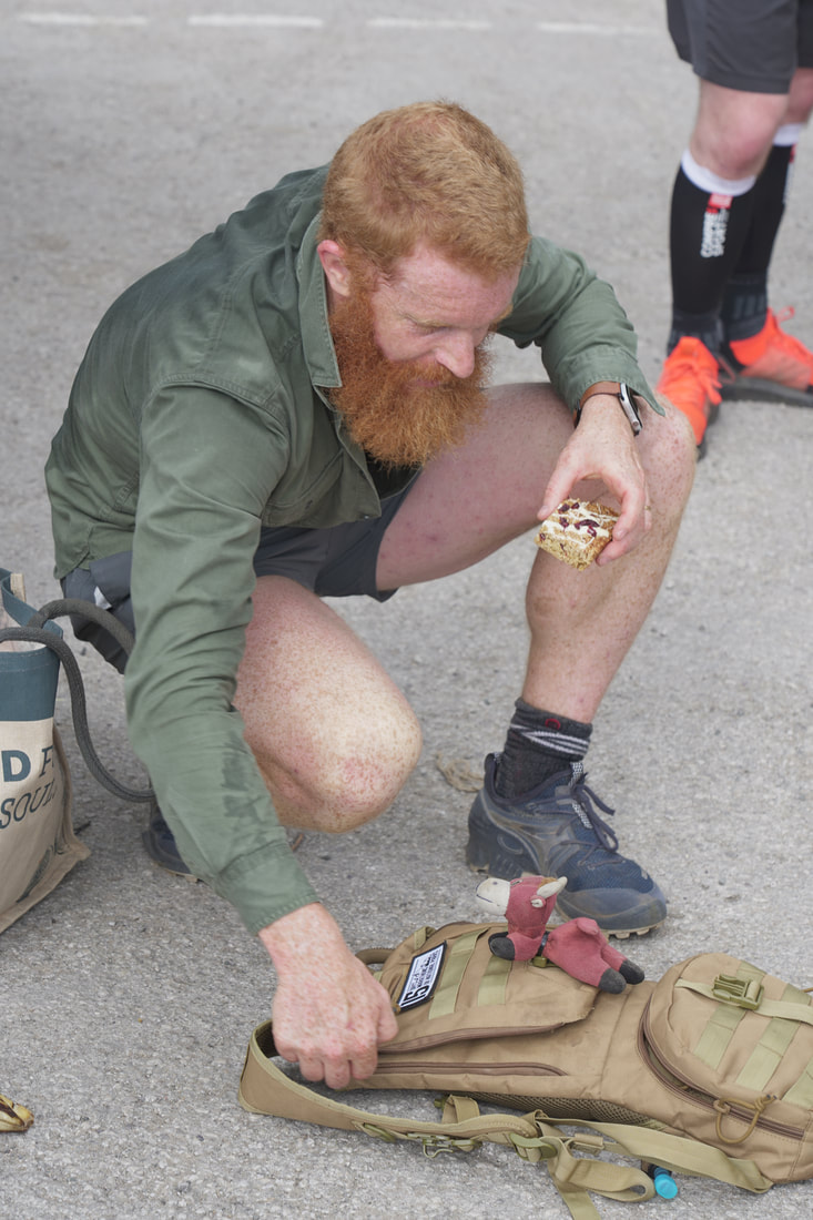
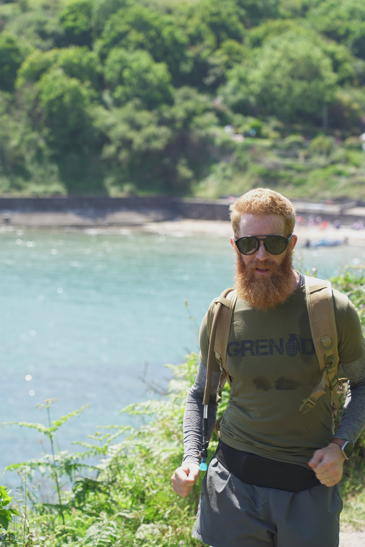
As a long time sponsor I swear by Grenade's ethos and products. I'll be using their Vitamins in the morning, the Carb Killa bars during the run. I'll add one of their energy drinks (which have zero sugar) to my 2 litre hydtration pack and a recovery shake at the end of each run. It'll sort me out good and proper.
|
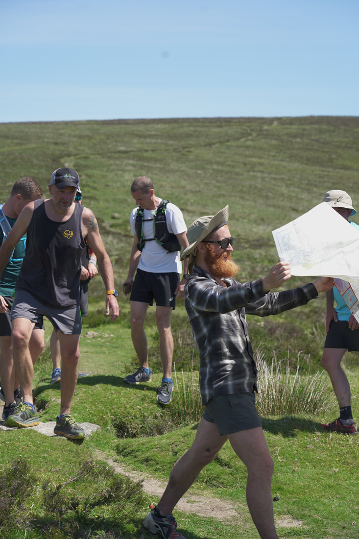
Navigation
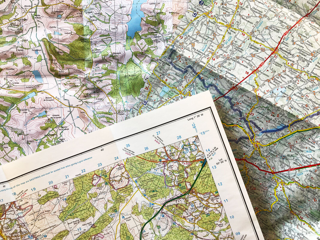
|
Maps, maps, maps, who doesnt love a map. I'm using both paper maps and the OS map app for navigation. As you can see from above I've details each route on OS desktop website which allowed me to find trail route that were exactly a marathon (or near enough)
|